February 2021 – Winter Storm Updates
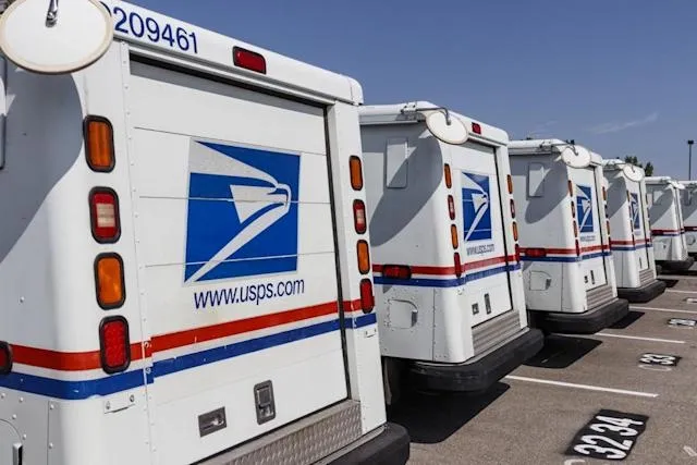
USPS, FedEx, and UPS have all announced service disruptions to specific parts of the United States.
Back-to-back winter storms making their way across the U.S. this week have claimed dozens of lives in at least eight states, as people succumbed to carbon monoxide poisoning, died in car crashes, slipped on dangerous ice and fell victim to other hazards of the extremely dangerous weather.
USPS temporarily closed operations in parts of Alabama, Texas, Georgia, and Mississippi, while FedEx suspended Express service in parts of Alabama, Arkansas, Georgia, Kentucky, and Louisiana earlier this week.
“Significant weather events across the U.S. are impacting the UPS Network,” the company announced on February 16th. “Although your location may not be impacted by weather, the movement of packages in the network may be impacted by weather conditions in other areas.”
Winter Storm Uri was a major coast-to-coast storm that spread snowfall and damaging ice from the Northwest into the South, Midwest and Northeast Feb. 12th-16th, 2021. The storm was followed by the coldest temperatures in decades in the south-central states.
By the morning of February 16th, 73% of the area of the Lower 48 states was covered by snow, the most widespread snow cover in the contiguous U.S. in at least 17 years.
Uri first impacted the Pacific Northwest with heavy snow and damaging ice late Feb. 12 through Feb. 13.
Seattle had a two-day snowfall total of 11.1 inches from the storm. Portland, Oregon, also picked up several inches of snow.
Other parts of the Willamette Valley in northwest Oregon had ice accumulations heavy enough to damage trees and knock out power. Ice accumulations were an inch or more thick in some areas, including as far south as Salem.
Heavy snow and wind gusts over 60 mph were reported in Albuquerque, New Mexico, on the morning of Feb. 14.
Snowfall spread across the Central and Southern Plains Feb. 14-15.
The storm produced 6 inches of snowfall in Oklahoma City with drifts of 2 to 4 feet, the heaviest snowstorm at Will Rogers Airport in 10 years, since the Groundhog snowstorm of 2011.
In Texas, Dallas-Fort Worth International Airport picked up 4 inches of snowfall in the storm, their heaviest snowfall at the airport site since Feb. 11-12, 2010.
Parts of the far north Houston metro area measured up to 4 inches of sleet and snow.
Thundersnow or thundersleet was reported early Monday on the Gulf Coast in Galveston, Texas, and Lake Charles, Louisiana. This was the first measurable snow in Galveston since Dec. 10, 2008.
Both Abilene and San Angelo, Texas, smashed their all-time snowiest calendar day Sunday, in records dating to the late 1800s.
In Austin, Texas, 6.4 inches of snow was recorded at both Bergstrom Airport and Camp Mabry, their heaviest snowstorm in 72 years, since Jan. 30, 1949.
San Antonio officially picked up 2.5 inches of snow, leading to a surreal snowy view of area freeways. It was their heaviest two-day snowfall in 36 years, since Jan. 12-13, 1985. Parts of the metro area, including near Sea World on the city’s west side, picked up 6 inches of snow.
Up to 6 inches of snow was measured in College Station, Texas, near the campus of Texas A&M University. Up to 9 inches of snow was reported near Longview, Texas.
Measurable snow fell as far south as Brooks County in Deep South Texas. Though it wasn’t measurable – at least 0.1 inch – a mix of snow and sleet coated the tops of vehicles in the Lower Rio Grande Valley, including Brownsville, Texas.
By the time the storm had finished, snow blanketed 80% of Texas.
The snow in Texas was followed by the coldest temperatures in decades for some cities.
Three-quarters of an inch of sleet coated the ground in Lake Charles, Louisiana, almost six months after Hurricane Laura’s devastating strike.
In Arkansas, up to 10 inches of snow was recorded in the Little Rock metro area. Up to 6 inches of snow fell in the Memphis metro area.
Up to one-half inch of ice made roads slick in parts of Louisiana, Mississippi, Alabama, Tennessee and Kentucky, including Baton Rouge and Jackson, Mississippi.
Snow from Uri also blanketed parts of the Ohio Valley, Great Lakes and interior Northeast.
Portions of Chicagoland northward to Racine, Kenosha and Milwaukee Counties saw over a foot of snow from a combination of Uri and lake-effect snow.
Indianapolis (6.8 inches) and Detroit (7.2 inches) picked up over a half-foot of snowfall.
Toledo, Ohio, had its heaviest two-day snowfall since 1912, picking up just over 14 inches of snow.
Uri also produced several inches of snow from western New York into Vermont, New Hampshire and Maine.